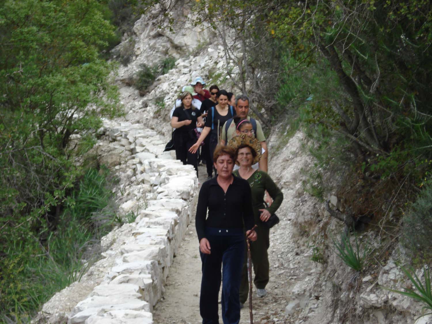
Natural Trail
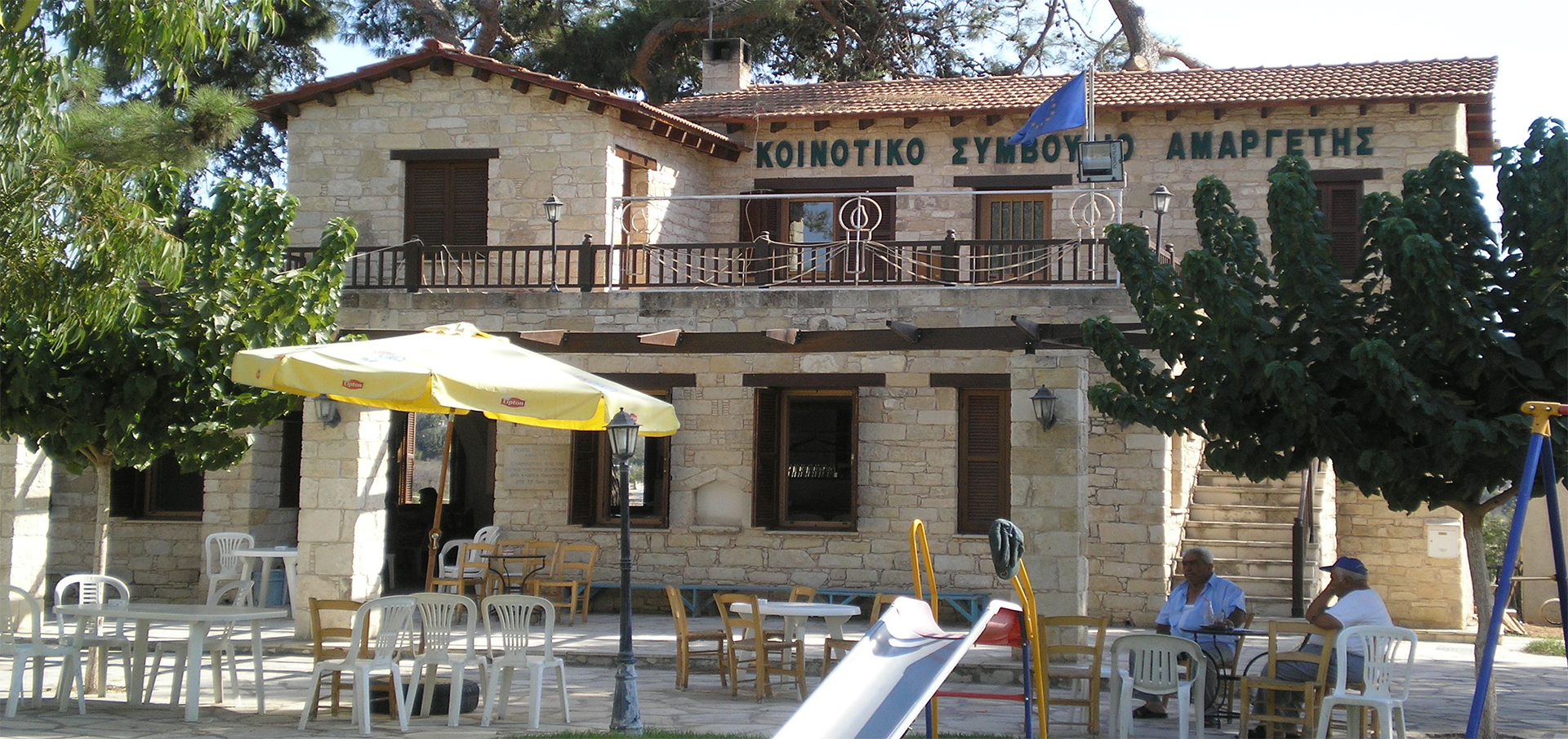
It is circular and it starts from the central square of the community. It is 5200 metres long and one needs approximately two and a half to three hours of hiking to cross it, always according to one’s pace.
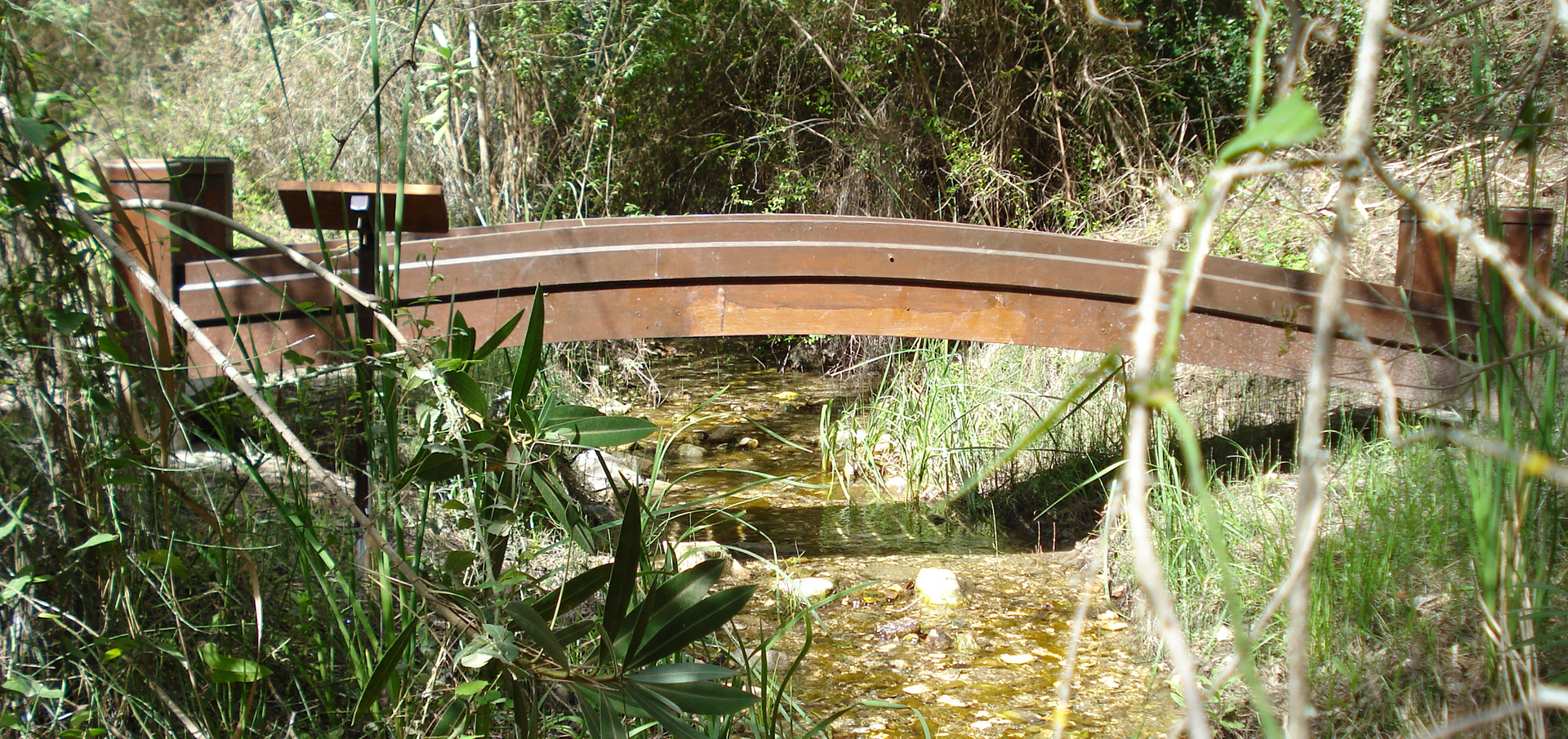
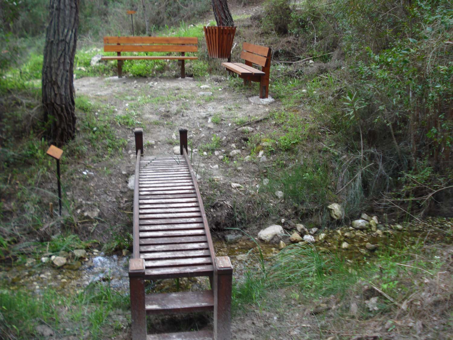
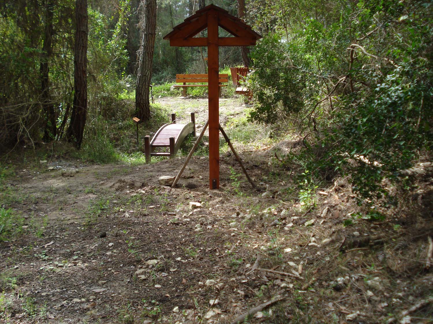
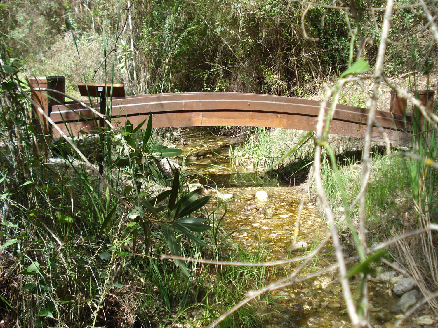
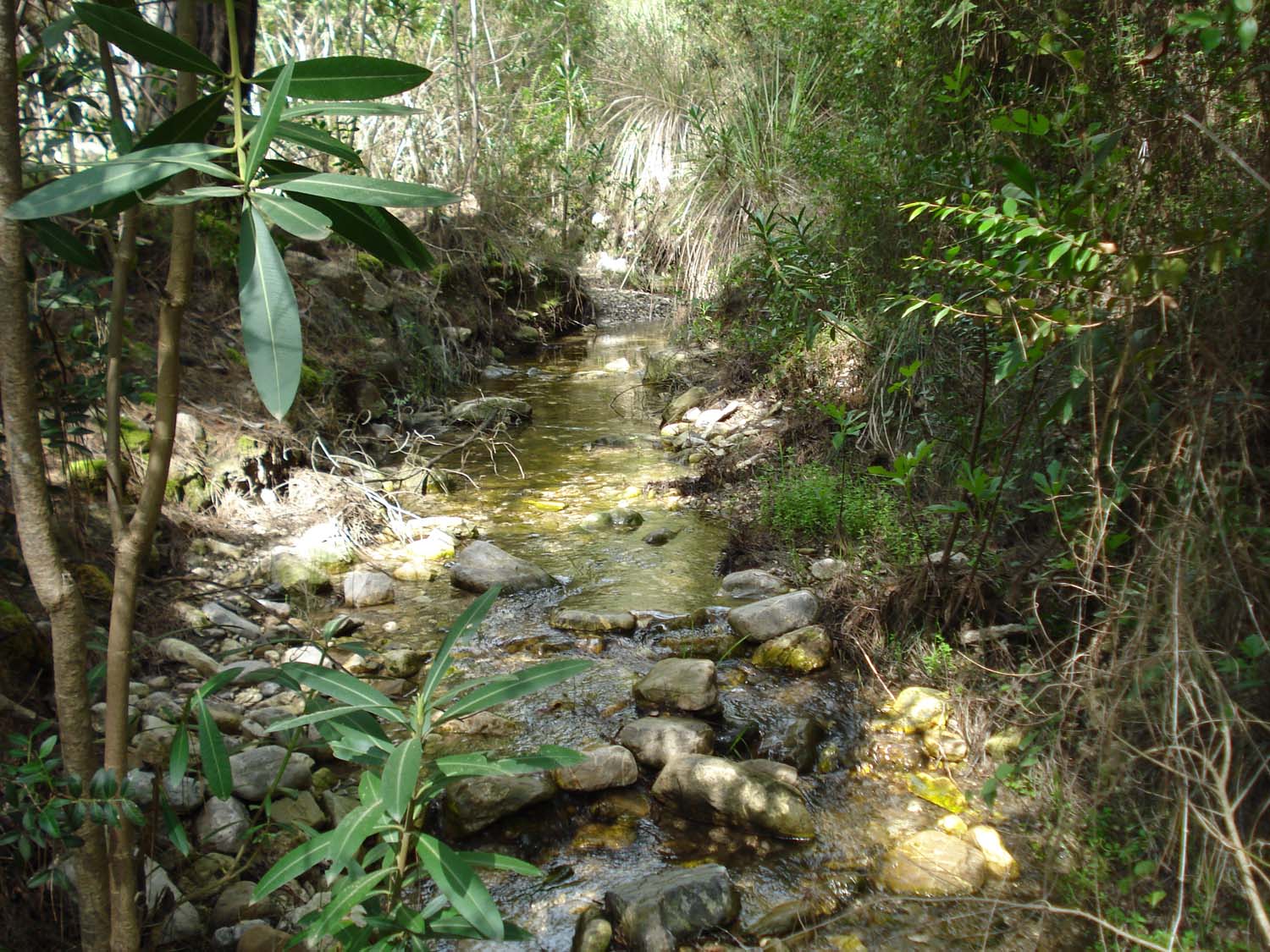
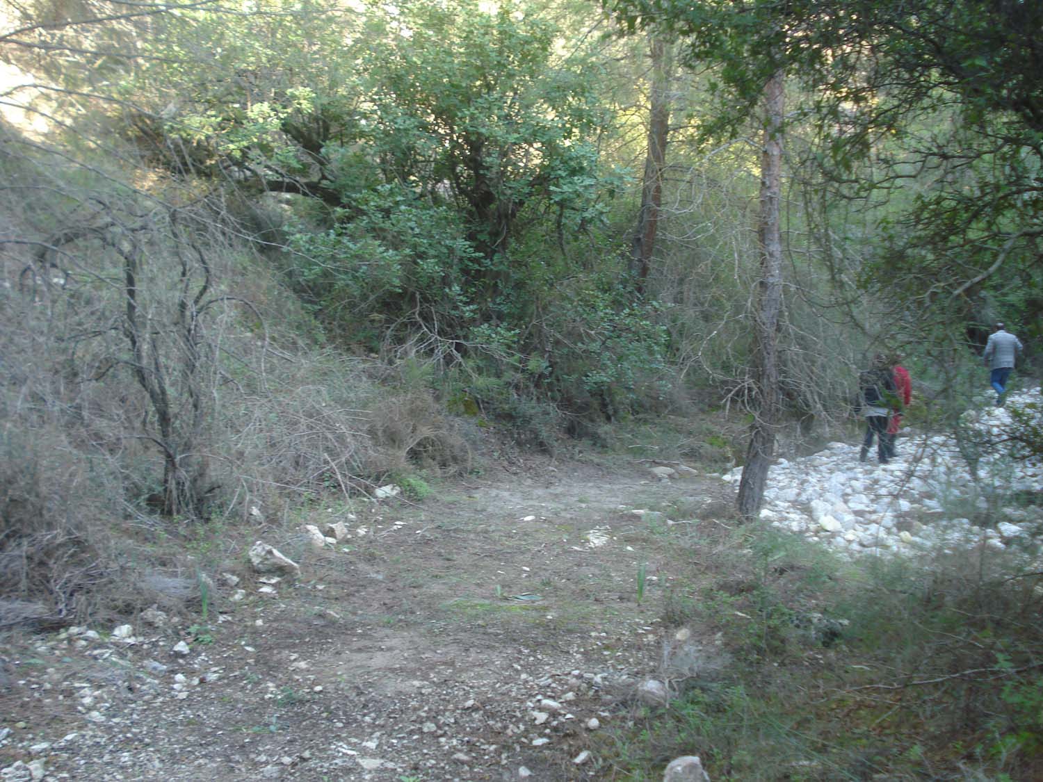
The first part of the trail is 600 metres long and it crosses the village. Next, there is a 1300-metre-long section which is downhill in some parts and even in others, whereas the section of the trail which crosses the river bed is 800 metres long and relatively even. While exiting the river bed, the trail is uphill for about 1200 metres. Along this section, there are several benches for hikers to rest. The final section of the trail is 1300 metres long, slightly uphill but generally flat.
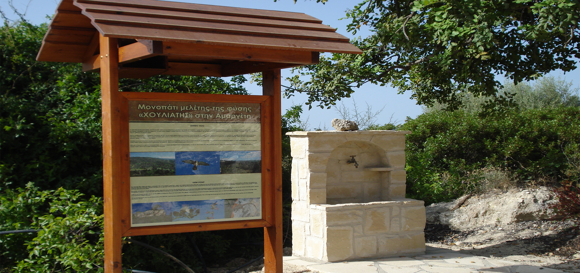
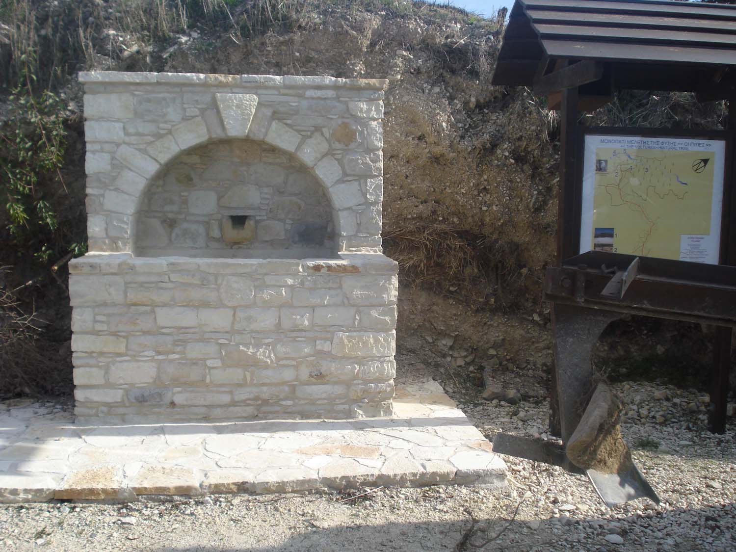
Along the route, there are wooden arrows which assist hikers to follow the right course. Moreover, there are also 56 numbered signs placed along the trail.
Points of interest
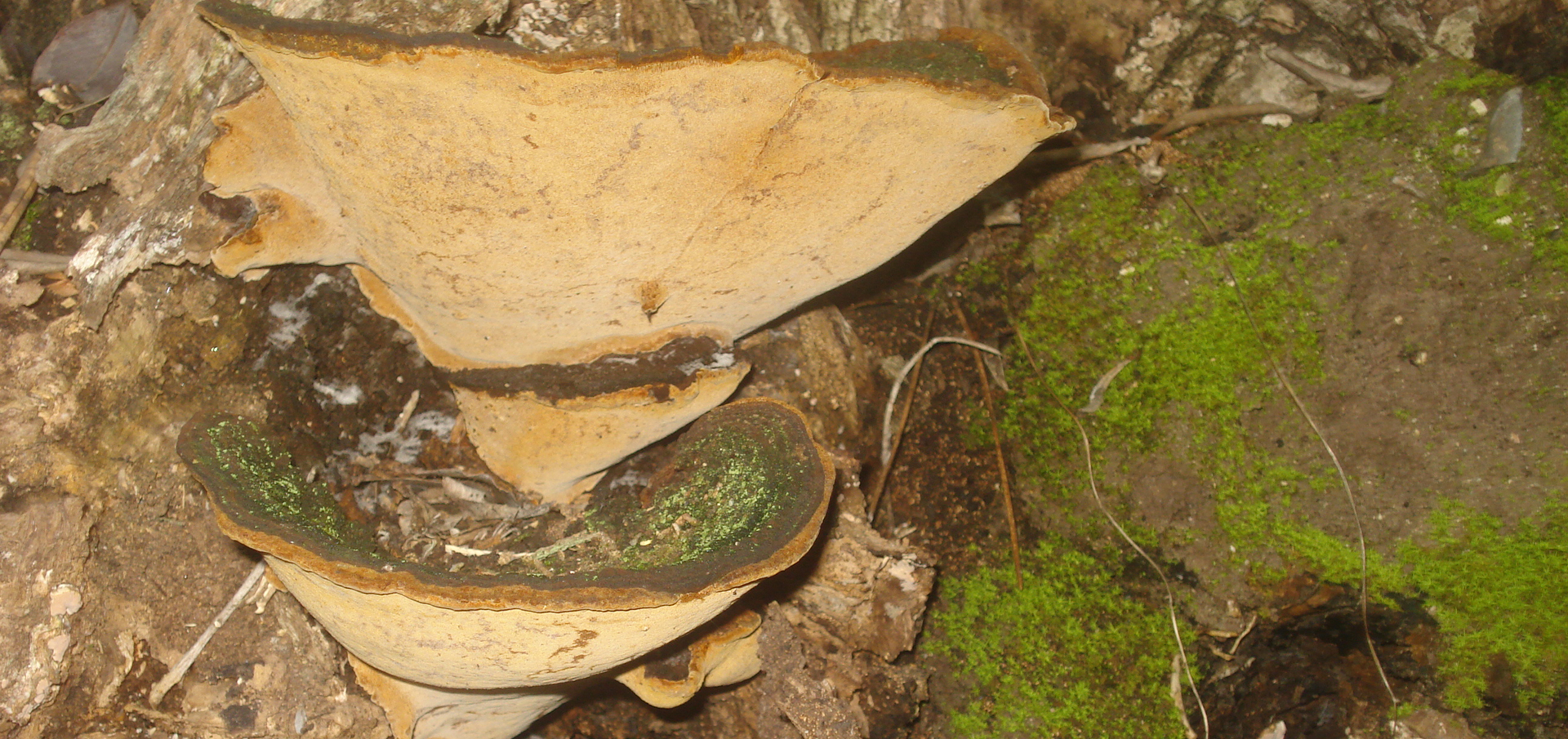
Forty signs concern plants that someone can encounter throughout the year. In particular, these refer to trees, bushes, shrubs, while less frequently they refer to perennial grasses, mosses and linchens. Included among these plants are nine endemic ones which flourish only in Cyprus and nowhere else in the world.
Moreover, there are four signs in points of geological interest and which regard a) the geological formation of Kalavasos where there is gypsum, b) the geological formation of Lefkara, c) the river strips, and d) the geological formation of Pachna. What’s more, there are four signs concerning habitats and the vegetation along the ravine, four signs referring to cultivations, three signs pointing to bird-watching and observation points and one directing to a small canyon. However, apart from birds, you will also meet other noteworthy kinds of fauna such as mammals, reptiles and butterflies.
Request to hikers
The Community Council of Amargeti expects all visitors and hikers to protect both the trail and themselves by:
- Not lighting a fire anywhere along the trail.
- Not smoking for the entire duration of the hike.
- Not uprooting or destroying the plants.
- Not intimidating, pursuing or killing animals.
- Not littering.
- Respecting the constructions and facilities for which an important amount of money has been spent.
- Respecting private property.
- My footprint is the only thing I will leave behind.
Source:
Text prepared by the Community Council of Amargeti
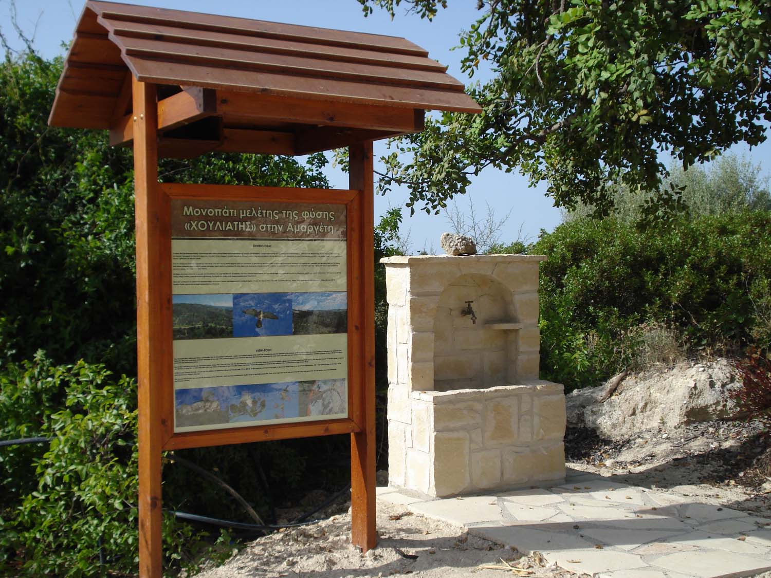
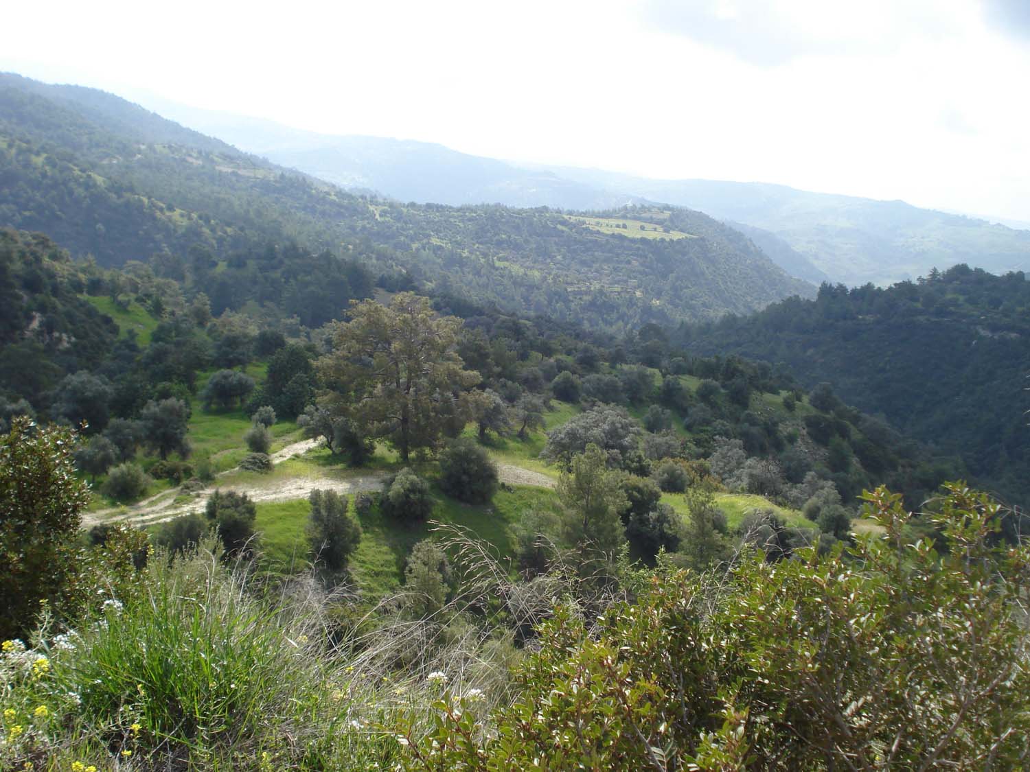
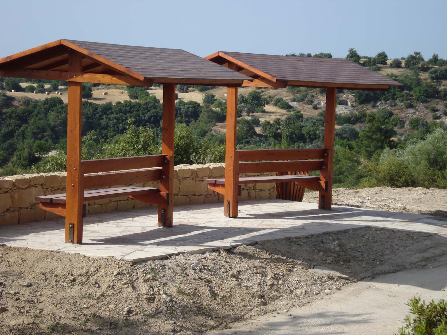
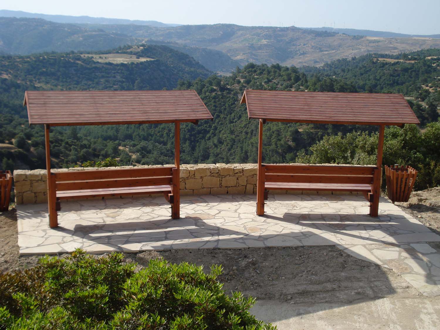
Observation Point
The observation point offers a northeast, east and south panoramic view of the area of the trail, including the area which spreads towards the southeast. From there one can enjoy the view of various traditional cultivations, with the dominating ones being olive and carob cultivations, whereas scattered almond trees can also be seen in the area. Moreover, the expanses of land which have been abandoned for many years are covered with natural vegetation which consists of pines, bushes, shrubs and grasses.
Located beyond the cultivations is the ravine of “Sterakotos”, the bed of which crosses part of the trail. The pine forest seen beyond the ravine (northeast and east) forms the European Habitat Type 9540 (A/A 21). Moreover, in some areas there are small olive groves, carob plantations, small vines and bushes. In the middle of the pine covered slope one can see the ruins of the chapel of Agios Georgios and further behind the peak of Agios Georgios, while the road leading to Agia Marina can been in the northeast.
In the east one can view the edges of Kelokedara and the “Paoura” peak which has an altitude of 772 metres. Seen towards the southeast and beyond the ravine of “Sterakotos” is a relatively bare slope, on the ridge of which there is extensive tree vegetation, where the Turkish-Cypriot village of Stavroconnou is also located.
Evident behind the village of Stavroconnou are the wind-turbines of the Aeolian Park which was created at the Oreites forest in order to produce electricity. Moreover, located on the ridge at the back and on the left of the wind-turbines are the villages of Archimandrita and Maronas.
Source:
Text prepared by the Community Council of Amargeti
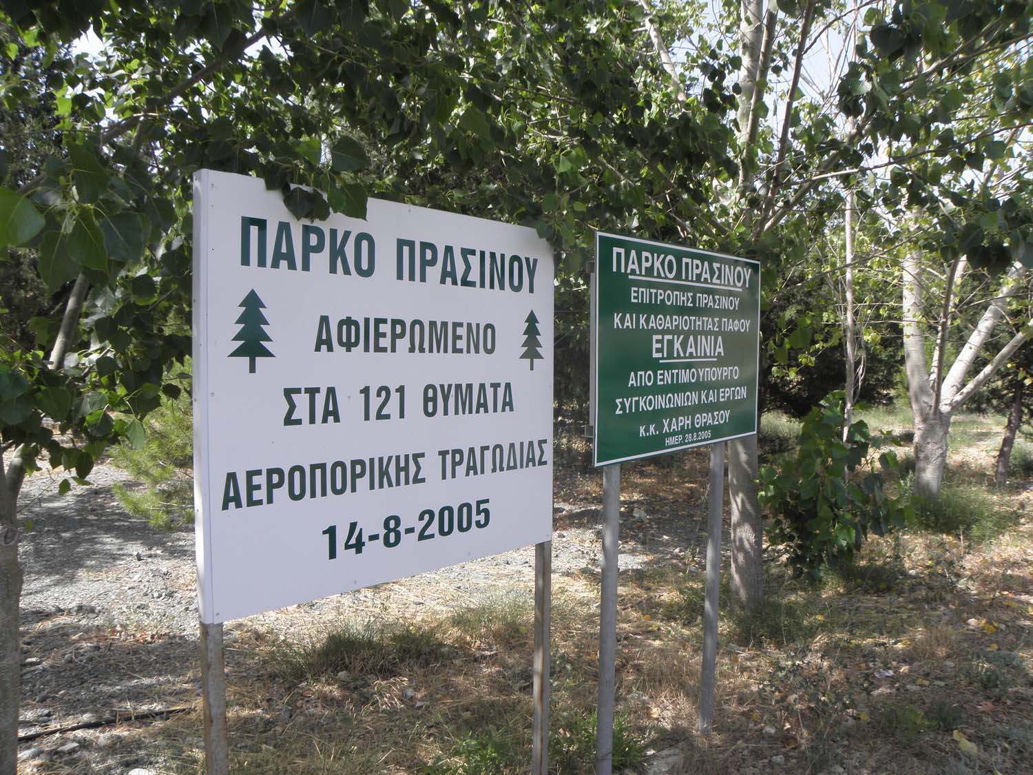
Park
The Amargeti Community Council, in cooperation with the Green and Cleanliness Committee of Pafos, have decided to create a Park on 3000 m2 of state land, at the entrance of the community and near the main road leading to Pafos. The park is dedicated to the 121 victims of the plane crash that occurred on August 14, 2005, at Grammatiko. The tree planting of the Park was completed in 2005 and the inauguration ceremony was held by the honourable former minister of Communication and Works, Mr Charis Thrasou, on August 28, 2005.
Tree Planting
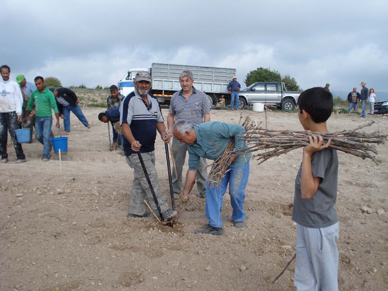
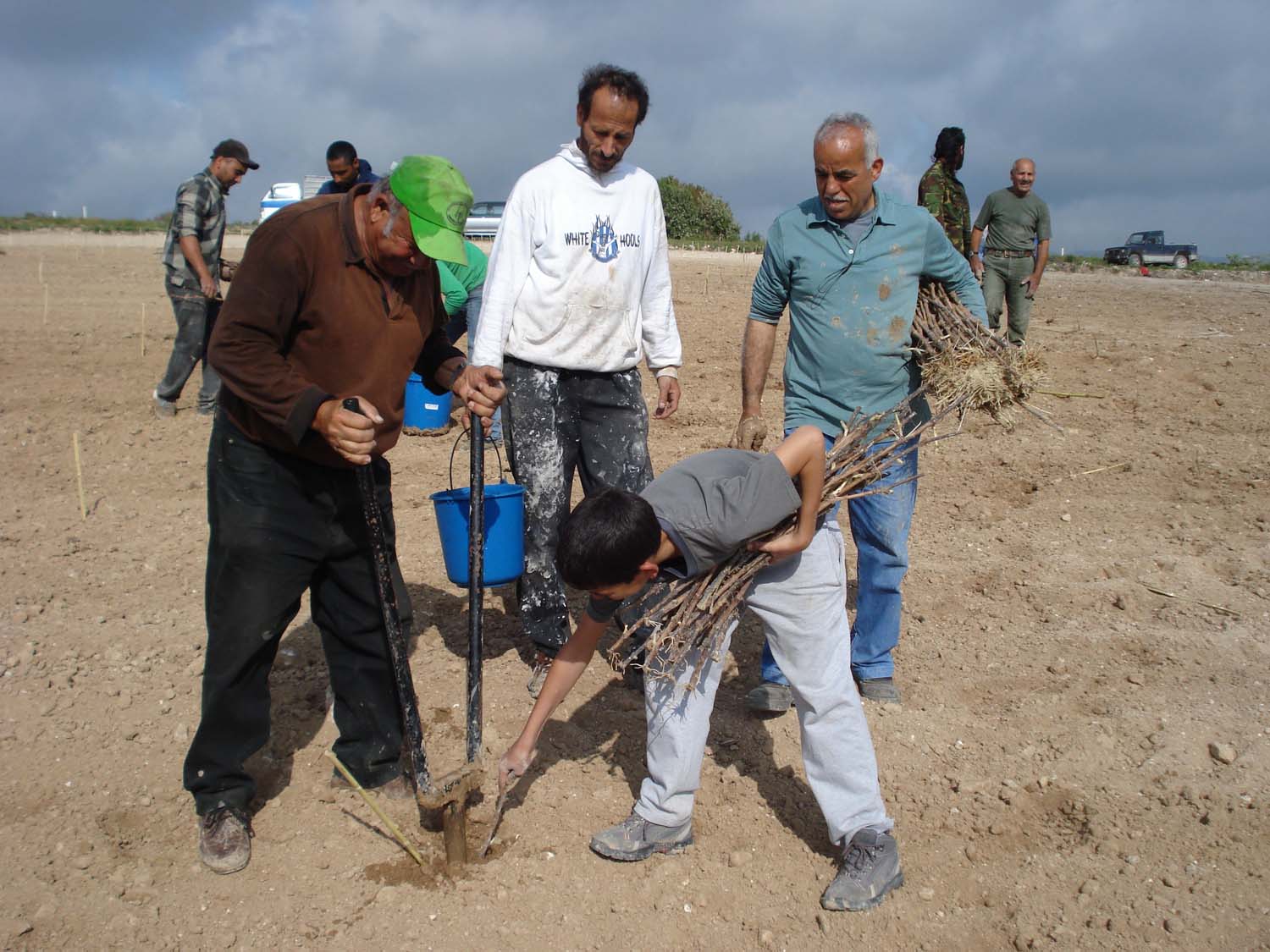
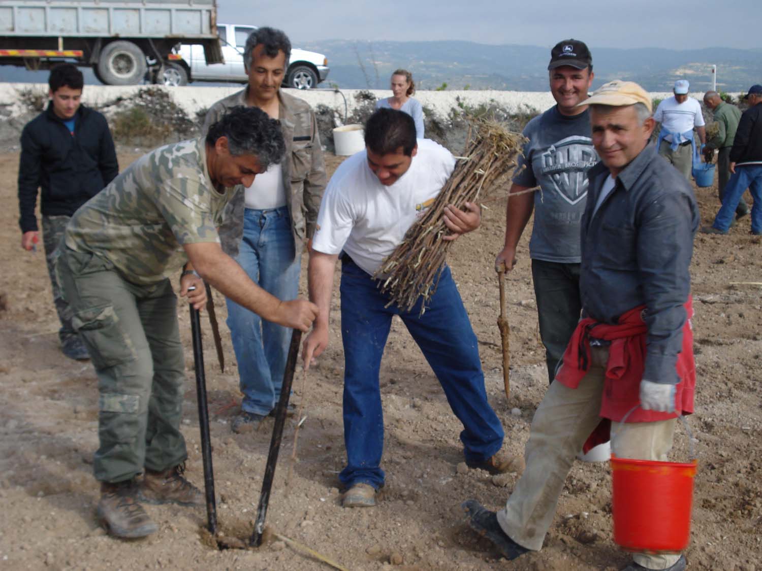
Amargeti has been decorated with beautiful greenery “brushworks”. Since 2001, the community has set as a goal to enrich the greenery areas of the village and has established an annual tree planting in various areas of Amargeti, as well as along the main road which connects our community with the town of Pafos.
Canyon
The Canyon with the thick pine forest locatedeast of the community constitutes an enormous greenery lung for the area. The forest expands from the east of the community until the villages of Agia Marina Kelokedaron and Kelokedara. What is also noteworthy is the fact that a 5200w metre long Nature Trail is planned to be created, in cooperation with the Department of Forests, along the perimeter of the Canyon.